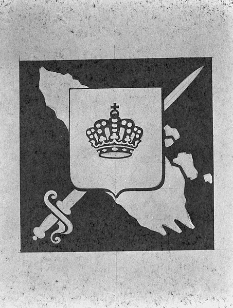
File:Sumatra and Surrounding Islands Territorial Command, Netherlands East Indies.jpg
Revision as of 13:36, 7 January 2024 by Marcusk (talk | contribs) (added Category:Maps using HotCat)
Sumatra_and_Surrounding_Islands_Territorial_Command,_Netherlands_East_Indies.jpg (453 × 600 pixels, file size: 82 KB, MIME type: image/jpeg)
Summary
Source: Wikimedia Commons
File history
Click on a date/time to view the file as it appeared at that time.
| Date/Time | Thumbnail | Dimensions | User | Comment | |
|---|---|---|---|---|---|
| current | 13:14, 16 February 2020 |  | 453 × 600 (82 KB) | Marcusk (talk | contribs) | Source: Wikimedia Commons Category:Netherlands Military heraldry (images) |
You cannot overwrite this file.
File usage
The following 2 pages use this file:
